Survey, GIS & Land Services
Respect for land frames our approach to land development. As surveyors, we apply a range of tools—including aerial drones, satellite imagery and field surveys—to gain a comprehensive understanding of the land. Our GIS team organizes the information into a broad range of usable maps and layers of data. Our planners, engineers and landscape architects use this data to help our clients make wise decisions about how to most efficiently and sustainably develop the land.
Planning and GIS Services
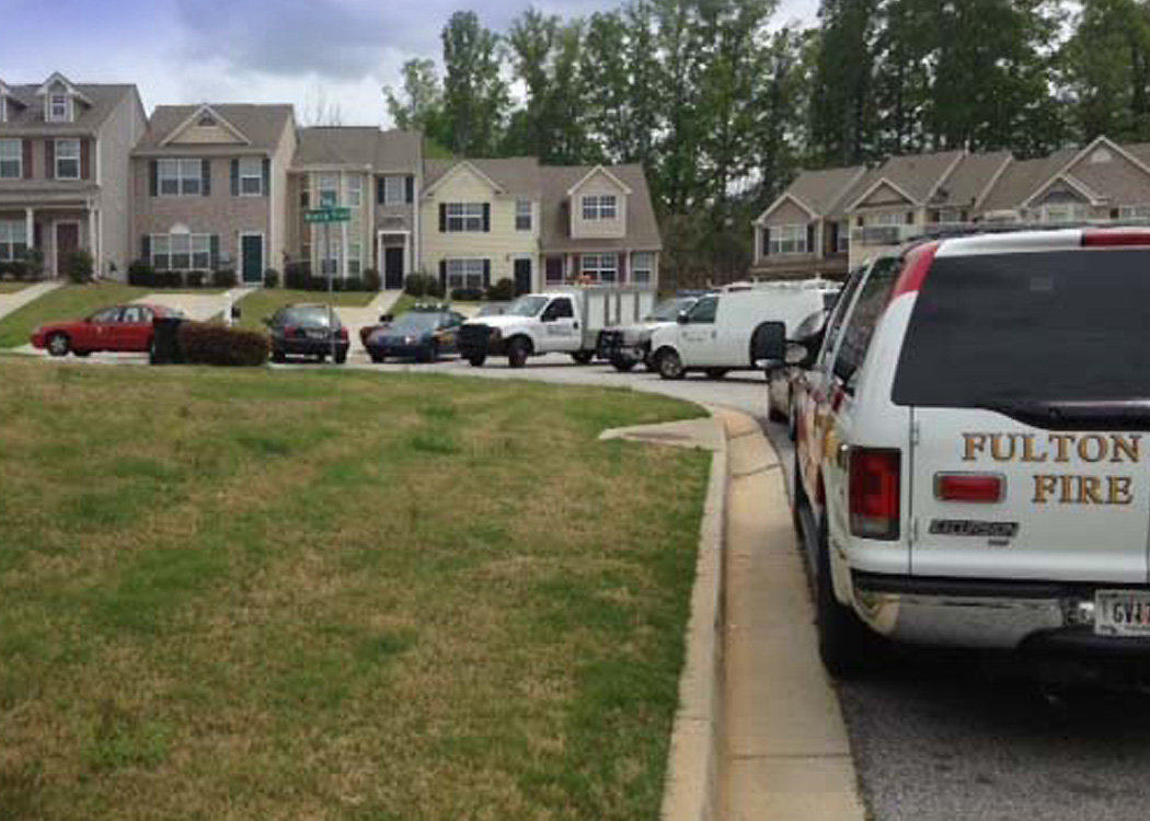
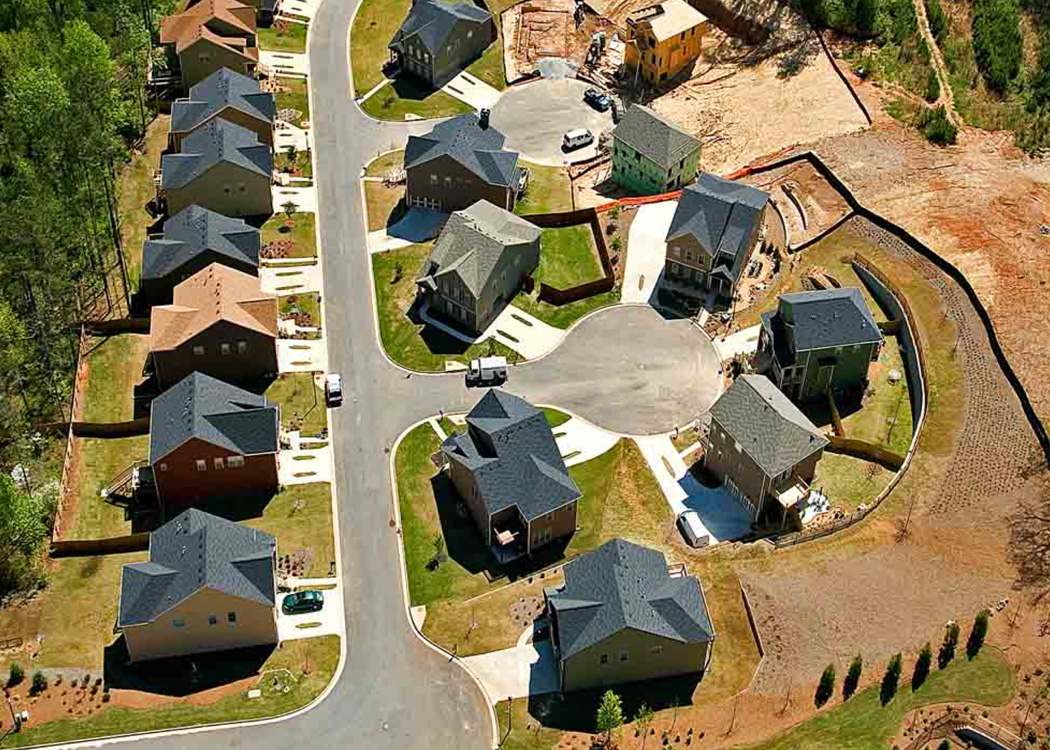
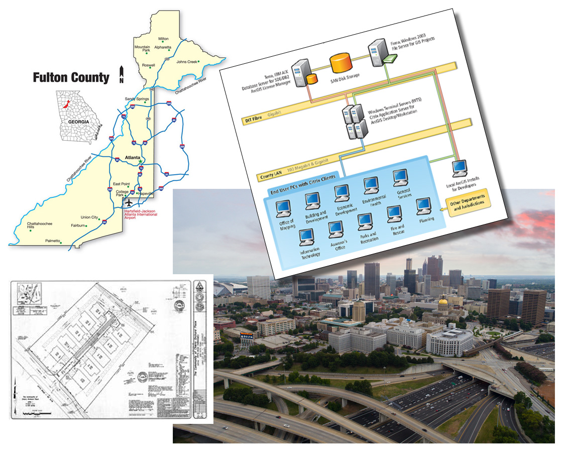
Fulton County, GA
For the Economic and Community Development Department of Fulton County, GA, Collaborative GIS Manager Colin Gowens provided GIS services to support community planning and transportation initiatives. His work included: plat map data harvesting and quality control, managing the digital plat archive; creating digital elevation models, and integrating terrain models to assess the impacts of flooding in developing areas. GIS data supports numerous community development activities from land use to economic development.
In addition, he designed and implemented a spatial database of well and septic systems that included a web application with GPS integration and spatial integrity checks. Colin also developed a geographic database and digital plats system to provide planners and the public with current street network information in support of the development approval process.
i View, download, and/or print this project summary.