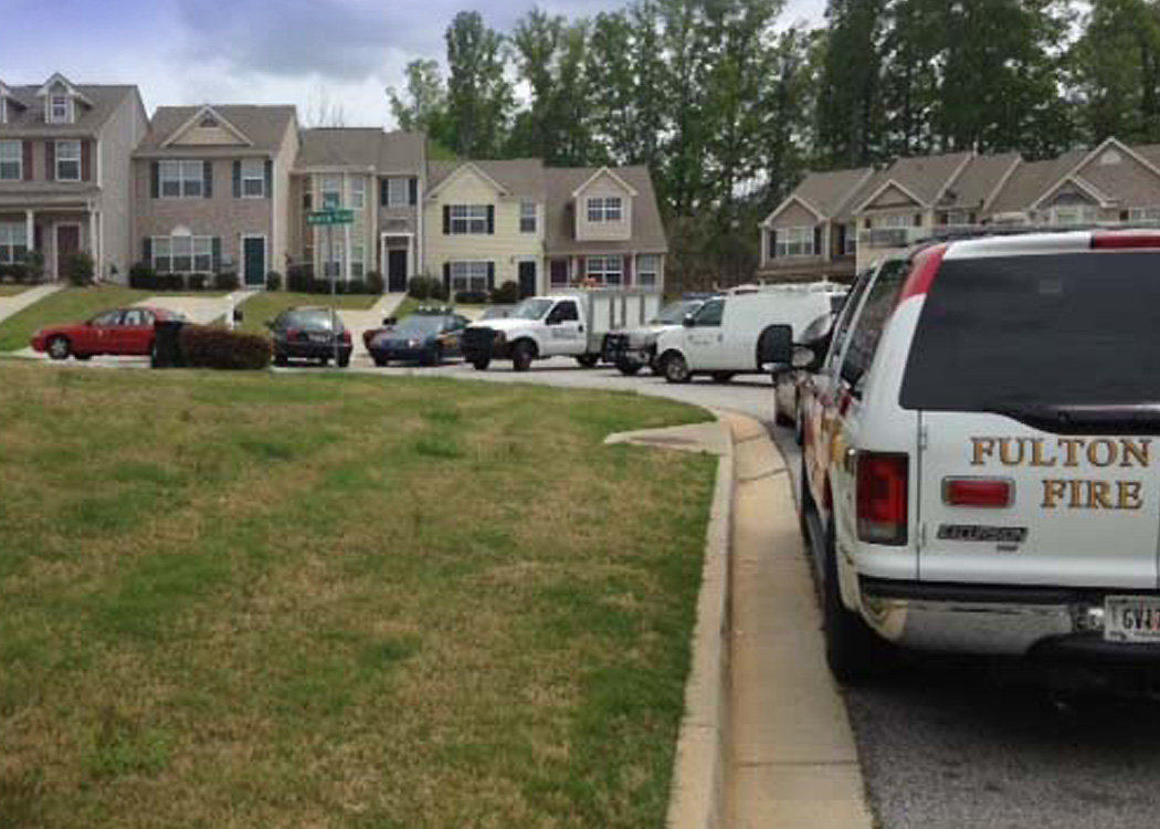
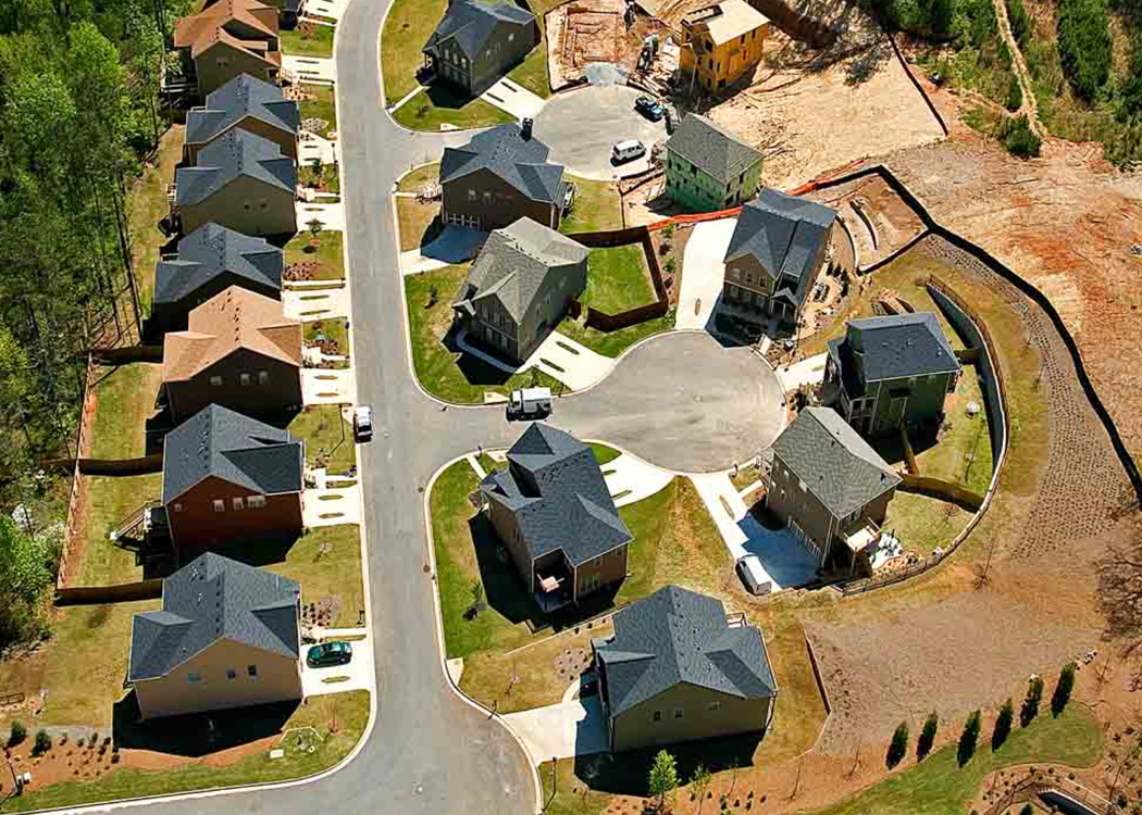
Survey, GIS & Land Services
Respect for land frames our approach to land development. As surveyors, we apply a range of tools—including aerial drones, satellite imagery and field surveys—to gain a comprehensive understanding of the land. Our GIS team organizes the information into a broad range of usable maps and layers of data. Our planners, engineers and landscape architects use this data to help our clients make wise decisions about how to most efficiently and sustainably develop the land.
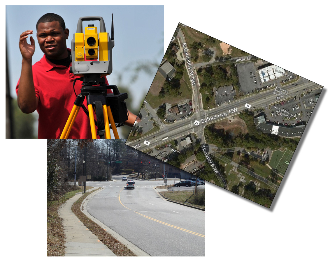
Cemetery Road Survey
City of Norcross, GA
Collaborative Senior Engineer Gilbert Quinones was responsible for all roadway design, land surveying and engineering surveying services in support of plans for the Cemetery Street Improvement Project in the City of Norcross. The project, completed while Gilbert was with Q-B Engineering, was approximately one-half mile in length and consisted of one major intersection, with Buford Highway, and four other intersections.
Tasks completed by Gilbert included a boundary survey, topographic survey, right-of-way and easement survey and other survey services in support of intersection improvements, sidewalk plans, stormwater improvements, right-of-way plans, work scheduling, cost control and construction observation.
i View, download, and/or print this project summary.