Survey, GIS & Land Services
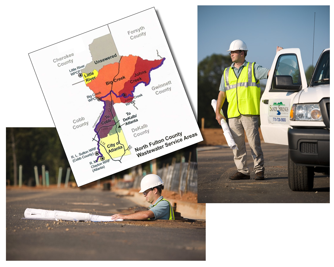
Respect for land frames our approach to land development. As surveyors, we apply a range of tools—including aerial drones, satellite imagery and field surveys—to gain a comprehensive understanding of the land. Our GIS team organizes the information into a broad range of usable maps and layers of data. Our planners, engineers and landscape architects use this data to help our clients make wise decisions about how to most efficiently and sustainably develop the land.
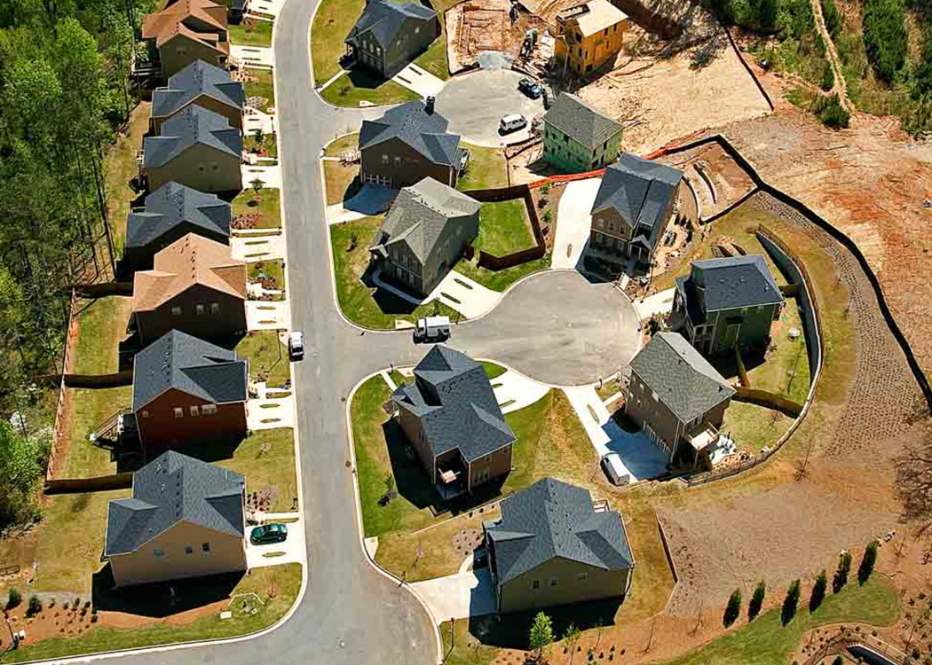
Land Development Services
Planning and Community Services Department, Fulton County, GA
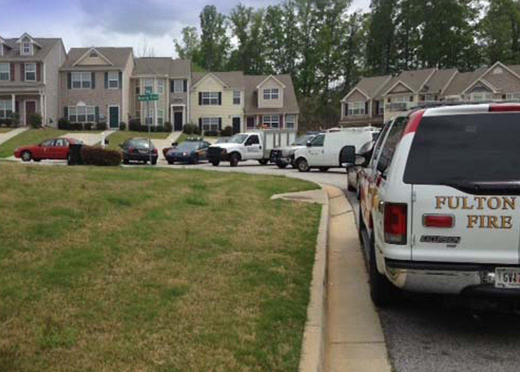
The Collaborative provides in-house services for all of unincorporated South Fulton County in the following areas: engineering review for land development; site development and infrastructure inspections; municipal separate storm sewer system (MS4) inspections and program management and; Georgia Soil Water Conservation Commission Local Issuing Authority (LIA) compliance and program administration.
The firm applies best management practices and soil and erosion standards in accordance with State and local regulations and ensures that all roadway and infrastructure improvements within the public right-of-way and public utility easements meet County, State and Federal standards.
i View, download, and/or print this project summary.